

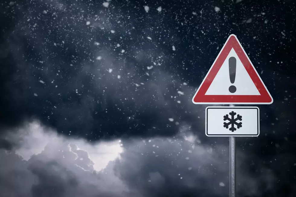
Snow Expected to Pile Up in the Mountain Passes
Snow Expected to Pile Up in the Mountain Passes
If you’re planning a trip across the Cascade Mountains - in either direction, we advise you to check with the Washington Department of Transportation Mountain Pass reports first.
We’ve done the heavy lifting for you and compiled the weekend weather forecasts and links to click for real-time updates on all four major mountain passes (Blewett, Snoqualmie, Stevens, and White Pass.)
Here are the weekend forecasts for Blewett, Snoqualmie, Stevens, and White Passes as of Friday, December 1st at Noon. Click here for the updated real-time conditions.
Blewett Pass Weekend Forecast (Click here for updated conditions)
Friday
Snow likely. Mostly cloudy. High near 29, with temperatures falling to around 26 in the afternoon. Southwest wind 8 to 14 mph, with gusts as high as 21 mph. The chance of precipitation is 70%. New snow accumulation of 3 to 5 inches is possible.
Friday night
Snow. Mostly cloudy. Low around 24, with temperatures rising to around 26 overnight. Southwest wind around 16 mph, with gusts as high as 24 mph. The chance of precipitation is 100%. New snow accumulation of 7 to 11 inches is possible.
Saturday
Snow. Mostly cloudy. High near 34, with temperatures falling to around 29 in the afternoon. Southwest wind 14 to 20 mph, with gusts as high as 29 mph. The chance of precipitation is 100%. New snow accumulation of 4 to 8 inches is possible.
Saturday night
Snow before 4 am, then rain and snow. Mostly cloudy, with a low of around 27. Southwest wind 5 to 14 mph, with gusts as high as 21 mph. The chance of precipitation is 100%. New snow accumulation of 1 to 3 inches is possible.
Sunday
Rain and snow before 7 am, then rain and snow between 7 am and 1 pm, then rain and snow. Cloudy, with a high near 40. Southwest wind 5 to 17 mph, with gusts as high as 25 mph. The chance of precipitation is 100%. New snow accumulation of less than one inch is possible.
Sunday night
Rain and snow likely before 7 pm, then rain and snow likely between 7 pm and 10 pm, then rain and snow likely. Mostly cloudy, with a low of around 30. The chance of precipitation is 70%. New snow accumulation of less than half an inch is possible.
Snoqualmie Pass Weekend Forecast (Click here for updated conditions)
Friday
Snow before 1 pm, then rain and snow. Cloudy, with a high near 33. Wind chill values as low as 18. West southwest wind 9 to 22 mph, with gusts as high as 29 mph. The chance of precipitation is 100%. New snow accumulation of 10 to 16 inches is possible.
Friday night
Rain and snow. Cloudy. Low around 32, with temperatures rising to around 34 overnight. Wind chill values are as low as 22. Southwest wind 10 to 18 mph, with gusts as high as 24 mph. The chance of precipitation is 100%. New snow accumulation of 7 to 11 inches is possible.
Saturday
Rain and snow. Cloudy. High near 34, with temperatures falling to around 32 in the afternoon. Wind chill values are as low as 21. West wind 9 to 22 mph, with gusts as high as 29 mph. The chance of precipitation is 100%. New snow accumulation of 2 to 4 inches is possible.
Saturday night
Rain and snow before 1 am, then rain and snow. Cloudy, with a low of around 32. Wind chill values are as low as 24. Southwest wind 3 to 15 mph. The chance of precipitation is 100%. New snow accumulation of less than half an inch is possible.
Sunday
Rain. Cloudy, with a high near 41. South southwest wind 14 to 18 mph, with gusts as high as 24 mph. The chance of precipitation is 100%. New rainfall amounts between 2 and 3 inches possible.
Sunday night
Rain. Cloudy, with a low of around 36. The chance of precipitation is 100%. New rainfall amounts between 1 and 2 inches possible.
Stevens Pass Weekend Forecast (Click here for updated conditions)
Friday
Snow. Cloudy, with a high near 29. Wind chill values as low as 15. West wind 12 to 15 mph, with gusts as high as 29 mph. The chance of precipitation is 100%. New snow accumulation of 10 to 14 inches is possible.
Friday night
Snow is likely before 7 pm, then rain and snow. Cloudy. Low around 28, with temperatures rising to around 30 overnight. Wind chill values are as low as 17. Southwest wind 10 to 29 mph, with gusts as high as 41 mph. The chance of precipitation is 100%. New snow accumulation of 13 to 19 inches is possible.
Saturday
Snow. Cloudy. High near 31, with temperatures falling to around 29 in the afternoon. Wind chill values are as low as 17. West wind 16 to 25 mph, with gusts as high as 36 mph. The chance of precipitation is 100%. New snow accumulation of 11 to 17 inches is possible.
Saturday night
Snow before 10 pm, then rain and snow between 10pm and 4am, then rain and snow. Cloudy, with a low around 28. Wind chill values as low as 19. South southwest wind 7 to 20 mph, with gusts as high as 25 mph. Chance of precipitation is 100%. New snow accumulation of 4 to 6 inches possible.
Sunday
Rain and snow before 7am, then rain and snow. Cloudy, with a high near 37. South southwest wind 7 to 18 mph, with gusts as high as 28 mph. Chance of precipitation is 100%. New snow accumulation of around one inch possible.
Sunday night
Rain and snow. Cloudy, with a low around 30. Chance of precipitation is 90%. New rainfall amounts between three quarters and one inch possible.
White Pass Weekend Forecast (Click here for updated conditions)
Friday
Snow. Cloudy, with a high near 29. Wind chill values as low as 13. West wind 18 to 23 mph, with gusts as high as 30 mph. Chance of precipitation is 80%. New snow accumulation of 19 to 25 inches possible.
Friday night
Snow. Cloudy. Low around 27, with temperatures rising to around 31 overnight. Wind chill values as low as 15. West southwest wind 17 to 28 mph, with gusts as high as 36 mph. Chance of precipitation is 100%. New snow accumulation of 24 to 30 inches possible.
Saturday
Snow. Cloudy. High near 32, with temperatures falling to around 29 in the afternoon. Wind chill values as low as 15. West wind 15 to 31 mph, with gusts as high as 40 mph. Chance of precipitation is 100%. New snow accumulation of 15 to 21 inches possible.
Saturday night
Snow before 10pm, then rain and snow. Cloudy, with a low around 29. Wind chill values as low as 17. West wind 6 to 22 mph, with gusts as high as 29 mph. Chance of precipitation is 100%. New snow accumulation of 4 to 6 inches possible.
Sunday
Rain and snow before 1pm, then rain and snow. Cloudy, with a high near 39. West southwest wind 8 to 23 mph, with gusts as high as 30 mph. Chance of precipitation is 100%. Little or no snow accumulation expected.
Sunday night
Rain and snow before 10pm, then rain and snow between 10pm and 1am, then rain and snow between 1am and 4am, then rain and snow. Cloudy, with a low around 35. Chance of precipitation is 90%. New rainfall amounts between three quarters and one inch possible.
INFO: WSDOT.com
The 8 Biggest Washington State Snowstorms
Washington Winter Emergency Car Kit
Gallery Credit: AJ Brewster
More From KW3


