Wenatchee Valley Finally Saying Goodbye To Smoke; Big Weather Change
The weather in North Central Washington and the Wenatchee Valley is going through a big change Friday.
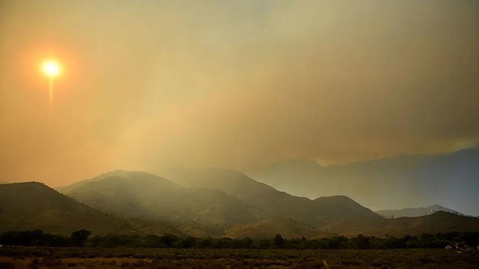
National Weather Service Meteorologist Jon Fox says the first rain and snow storm of the season will start to clear out the smoke and haze.
“It’s certainly going to put a damper on any fires that are burning, which as a result should lower the smoke production as well,” said Fox. “Not to mention the fact that any rain that we see in the atmosphere is going to, kind of, clean out the atmosphere and get rid of some of those smoke particles.”
Fox says the haze may not instantly go away, but will quickly move in that direction.
Temperatures are making a big shift downward as well starting today
“We’re looking at a significant cool down,” Fox said. “Where as highs for most of the month have been in the upper 60’s and into the 70’s, we’re not looking at anything close to that in the near future, and probably we’re not going to see anything like that until next spring.”
High temperatures during the next week in the Wenatchee area will be in the low to mid 50's.
The longer three-month outlook shows a higher-than-normal level of snow and rain in the region, which is a typical pattern for La Nina seasons, such as the one we're entering into.
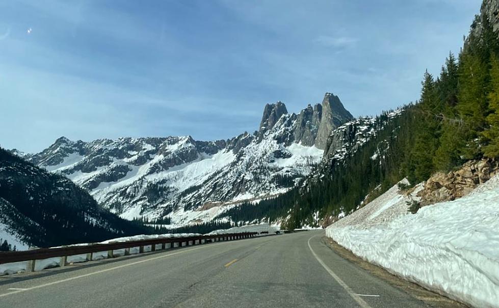
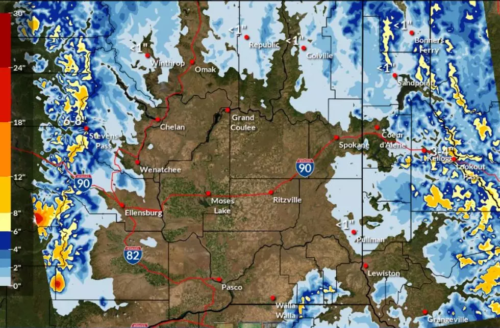
This weekend also brings the introduction of snow into the Cascades, with some significant accumulation in the higher elevations.
Fox says the snow should also help dampen the wildfires. The snow will definitely have an affect on hikers, who are advised check with forest ranger stations beforehand.
The snow will start accumulating Friday in the mountain passes at 3,500 to 4,500 feet.
More From KW3